Case Study 1: Multi-Sensorial unit for Autonomus-Navigation

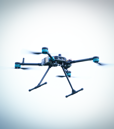
The integration of a lightweight and integrated sensor kit, inertial and Lidar, on drones designed and built by Sigma Ingegneria, with the aim of developing reliable and high-performance autonomous navigation tools, represents a technical and commercial opportunity to offer the market complete and customizable. Sigma Ingegneria’s most innovative drones are Horus, Helyx-Zero and Helyx-One.
Horus is an aerial platform capable of carrying payloads up to 10 kg, designed to transport sensors for 3D laser reconstructions in a plant treatment system. The data returned by the sensors will be digitally processed and, thanks to the navigation algorithms based on AI, will generate a trajectory capable of allowing autonomous execution of missions avoiding obstacles.
Helyx-Zero has been developed for survey and precision agriculture: being a 3D printed light and compact drone, the integration of sensors with reduced dimensions and weights represents a unique opportunity to equip this autonomous system, considering that the reference hardware benchmark is incompatible with this size of drone.
Helyx-One is a quadcopter made by 3D sintering of plastic material. Its structure is shaped using generative design techniques, yielding a distinctive form that is both sturdy and aerodynamically efficient. With a payload capacity of up to 2 kg, the Helyx-Zero is versatile, serving a wide range of applications, including precision agriculture and industrial monitoring.
Case Study 2: Multi-Sensorial Unit for Low-orbit Space-navigation
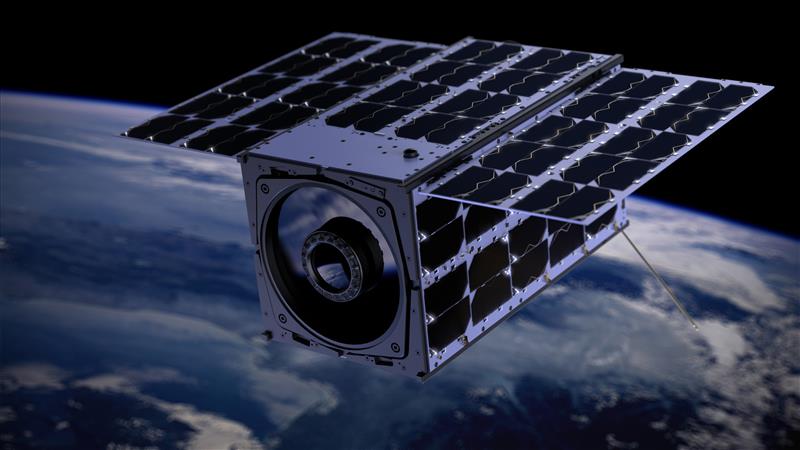
ENDUROSAT AD has specific interest to develop high-accuracy space-navigation for NanoSatellites and thrusters. ENDUROSAT AD’s platforms are used for multiple Earth observation, science and demonstration missions that require high pointing accuracy.
The multi-sensorial unit would provide the required accuracy and give the opportunity for more payloads onboard, improving the capability of our Shared Satellite service and allowing more point-demanding sensors to fly in orbit on a single satellite.
The sensors will enable EnduroSat’s future observational astrometry missions which require unprecedented pointing accuracy (10 arcsec) and stability. This will provide opportunities for complex scientific missions at lower cost. Further applications for the Case study 2 are climate research (vegetation or ice sheet monitoring, oceanography), weather forecasting, topographic mapping.

